Speakers
INAUGURAL SESSION
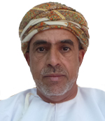
Air Commodore Yaqoob Bin Saud Al Toobi
Head of National Survey Authority
Oman
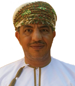
Dr Ali Said Al-Balushi
Head of Geography Department,
Sultan Qaboos University
Oman
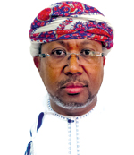
Saleem Al Hashmi
Director of Geospatial Information,
National Survey Authority
Oman
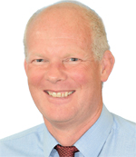
John Kedar
Director – Strategic Relationships, Ordnance Survey International
UK
PLENARY KEYNOTE SESSION

Carsten Rönsdorf
Head of Advisory Services,
Ordnance Survey
International
United Arab Emirates
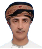
Yousuf Bin Harith Al Nabhani
SO1 Geographic Names,
National Survey Authority
Oman

Ahmed Naji
Geospatial Database
Administrator, Directorate
General of National Spatial
Data Infrastructure, NCSI
Oman
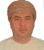
Abdullah Al Balushi
General Manager
Rolta Middle East
Oman
GEOSPATIAL FOR INFRASTRUCTURE AND UTILITIES
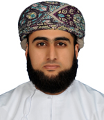
As'ad Al Hosni
GIS Developer, Duqm Special Economic Zone Authority, Oman

Zainab Abdull Raheem Al Riasi, Salma Nasser Alseyabi
System Analyst, Ministry of Housing, Oman

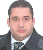
Mohamed Misbah
GSI Business Development Manager, Gulf Region, Khatib & Alami

SPATIAL DATA INFRASTRUCTURE

GEOSPATIAL FOR OIL & GAS AND LOGISTICS MANAGEMENT

Lukasz K Bonenberg
Senior Experimental Officer, Nottingham Geospatial Institute, University of Nottingham
UK



Dr. Oualid Ben Ali
Associate Professor, Training and Smart Solutions Center (TSSC), German University of Technology in Oman (GUtech), Oman

TECHNICAL PRESENTATIONS


Eng. Issa Ali Al Balushi
National Survey Authority
Oman
THE ARABIAN GULF CONTEST FOR THE BEST STUDENT PROJECT IN GIS APPLICATIONS

Qais Al Shahri & Talib Al Wahaibi
Sultan Qaboos University, Geography Dept

Younis Bani Arraba
Sultan Qaboos University, Geography Dept

Rim Al Lamki and Samira Al Lamki
Sultan Qaboos University, Geography Dept

Sarah Al Adwan and Al Anoud Al Harbi
Kuwait University, Geography Dept.

Abdullah Al Sharif
Umm Al-Qura University, Geography Dept.